Orienteering Map Reading & Map Symbols
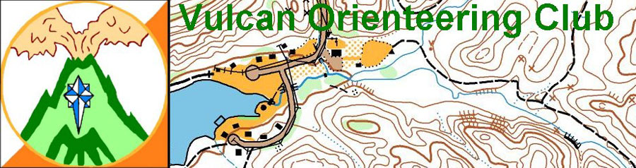
- Orienteering Maps & Map Symbols
- International Orienteering Federation (IOF) mapping standards - International Standards for Orienteering Maps (ISOM)
- Map Comparison (Orienteering vs. USGS vs. Aerial/Satellite photos)
- Illustrated guide on using a map and compass
- Orienteering Map Skills Online Test
- Interpretation of Terrain Features (see chapters 9 and 10)